Top-level map: Earth with features
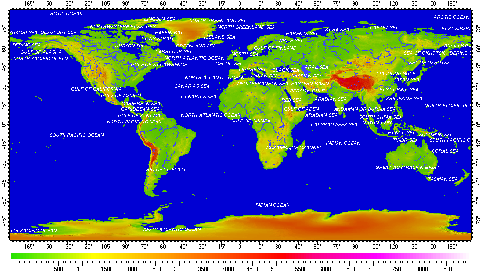
The map uses Digital Elevation Model (DEM) on its background. The DEM derived from data of Shuttle Radar Topography Mission (SRTM) and has resolution 3”.
Installation prerequisites:
- Installation archive “All vector layers of Earth”.
- Installation archive “High resolution DEM of Earth”.
- Spatial Aspect Map Locator for installation process.
- Spatial Aspect Explorer for using.
Copyright © 2016-2023 Yuri Feldman - All Rights Reserved