Archive: High resolution DEM of Earth
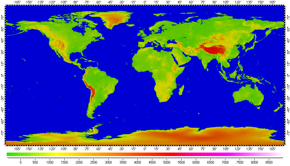
The datum of Digital Elevation Model of Earth, included in the archive, derived from raster data of Shuttle Radar Topography Mission (SRTM), version 2, distributed by the USGS. Base resolution of the datum is 3".
The datum presented here generally in form of .ZRS-files (stands Zipped Raster Set), which is proprietary compressed format of author of the datum. Separated files of the datum are in hierarchical and multi-resolution relation for optimization of speed and appearance upon using in Spatial Aspect Viewer and Spatial Aspect Explorer.
Also the datum contents set of spatial regions covering main geographical features of Earth, including continents, separated mountains, ranges, peninsulas, selected areas, islands and lakes.
Installation prerequisites:
- Spatial Aspect Map Locator for installation process and easy launching.
- Spatial Aspect Viewer or Spatial Aspect Explorer for using.
View license agreement for using the data
Installation set of files:
SRTM3_.zip -
Size: 5,608,886 bytes (5.34 MB); MD5: 1B8B9A6B5110AB35736F6E82B15520D3.
![]()
_A_.zip -
Size: 1,539,023,415 bytes (1.43 GB); MD5: 6CAD74CBA31239304B1F51ABD15BC19F.
![]()
_B_.zip -
Size: 1,074,237,654 bytes (1.00 GB); MD5: 435A846D9095091DADD63DF15BE3C81F.
![]()
_C_.zip -
Size: 1,948,329,953 bytes (1.81 GB); MD5: 488A574269FB77FF3D71237D236F876D.
![]()
_D_.zip -
Size: 1,972,703,741 bytes (1.83 GB); MD5: E1CD79A8148DAA9A6DBD36850993B5CA.
![]()
_E_.zip -
Size: 902,390,140 bytes (860 MB); MD5: 3EEA0BE70FC105A9158C7B0BD741AFD6.
![]()
_F_.zip -
Size: 1,754,329,917 bytes (1.63 GB); MD5: 214E4826616BFD972A29485BCC00C784.
![]()
_G_.zip -
Size: 1,687,191,414 bytes (1.57 GB); MD5: 2F1DC7274845192C778F50C88BEFC168.
![]()
_H_.zip -
Size: 1,555,191,720 bytes (1.44 GB); MD5: 7824567F7CDC2A8D05B9179006C5F4F8.
![]()
_I.zip -
Size: 770,010,218 bytes (734 MB); MD5: FC640315F73910024D1ABB1A92060811.
![]()
Additional instructions:
Files from this set should be kept in a common folder \SRTM3, for example. Only the first file
"SRTM3_.zip" will be selected by user upon installation entire datum from this archive by
using Spatial Aspect Map Locator. See user manual of the program for
more details.
Copyright © 2016-2023 Yuri Feldman - All Rights Reserved