Top-level maps of Mercury
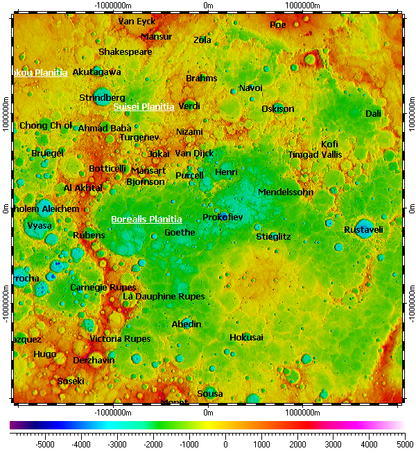
Spatial Aspect project includes following top-level maps for Mercury:
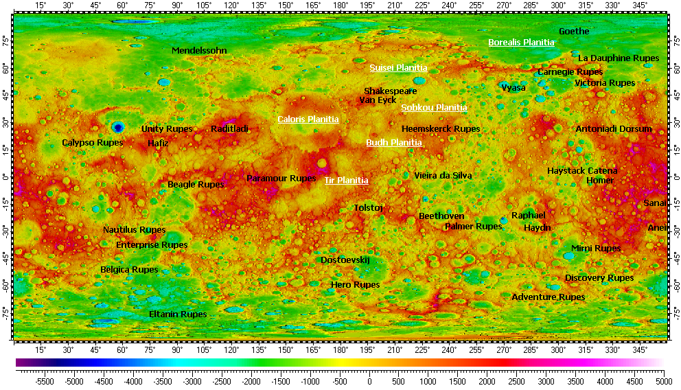
Mercury Nomenclature
The map uses Digital Elevation Model (DEM) on its background. The DEM derived from refactored data of Mercury Double Imaging System (MDIS) of MESSENGER mission and has resolution 1/64°.
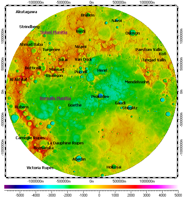
Mercury North Pole Nomenclature
The map uses DEM on its background, derived from refactored data of Mercury Double Imaging System (MDIS) with resolution 665m.
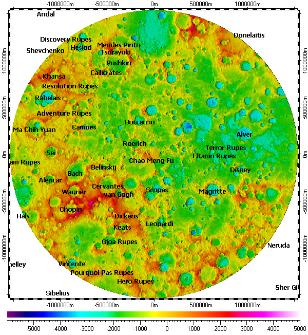
Mercury South Pole Nomenclature
The map uses DEM on its background, derived from refactored data of Mercury Double Imaging System (MDIS) with resolution 665m.
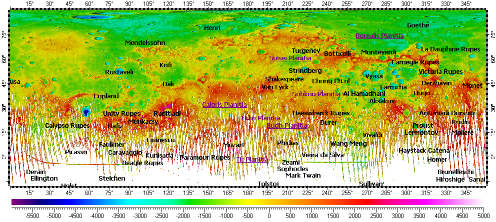
Mercury North Hemisphere Topography
The map uses Digital Elevation Model (DEM) on its background. The DEM derived from data of Mercury Laser Altimeter (MLA) instrument of MESSENGER mission and has resolution 1/64°.
Mercury North Pole Topography
The map uses DEM on its background, derived from data of MLA with resolutions from 1000m to 250m over common area.
Copyright © 2016-2023 Yuri Feldman - All Rights Reserved
